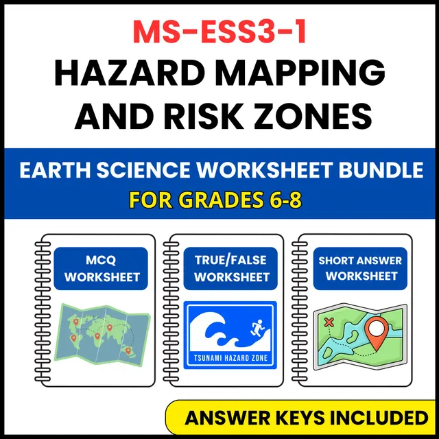
This resource turns hazard mapping and risk zones into a complete, ready to use review for Grade 6-8 earth science, covering the same NGSS standard from three different angles.
The set includes questions like "What is a significant challenge in hazard mapping?", "What is a key outcome of effective hazard mapping?", and "Which data is crucial for creating a flood risk map?"
Because the three worksheets share the same content in three different formats, you can spread them across the week: one for diagnosis, one for practice, and one for assessment, without repeating a single question.
This set is part of a NGSS aligned earth science unit. The unit also covers Natural Hazards, Earthquake Causes and Effects, Volcanoes and Tectonics, Tsunamis and Coastal Hazards, Severe Weather Events, and Human Vulnerability, all in the same three worksheet format, so your classroom routine stays familiar while the topic changes.
Suitable for Grade 6-8 earth science classes, and for review at any point in the school year. This set is aligned to NGSS standard MS-ESS3-1.