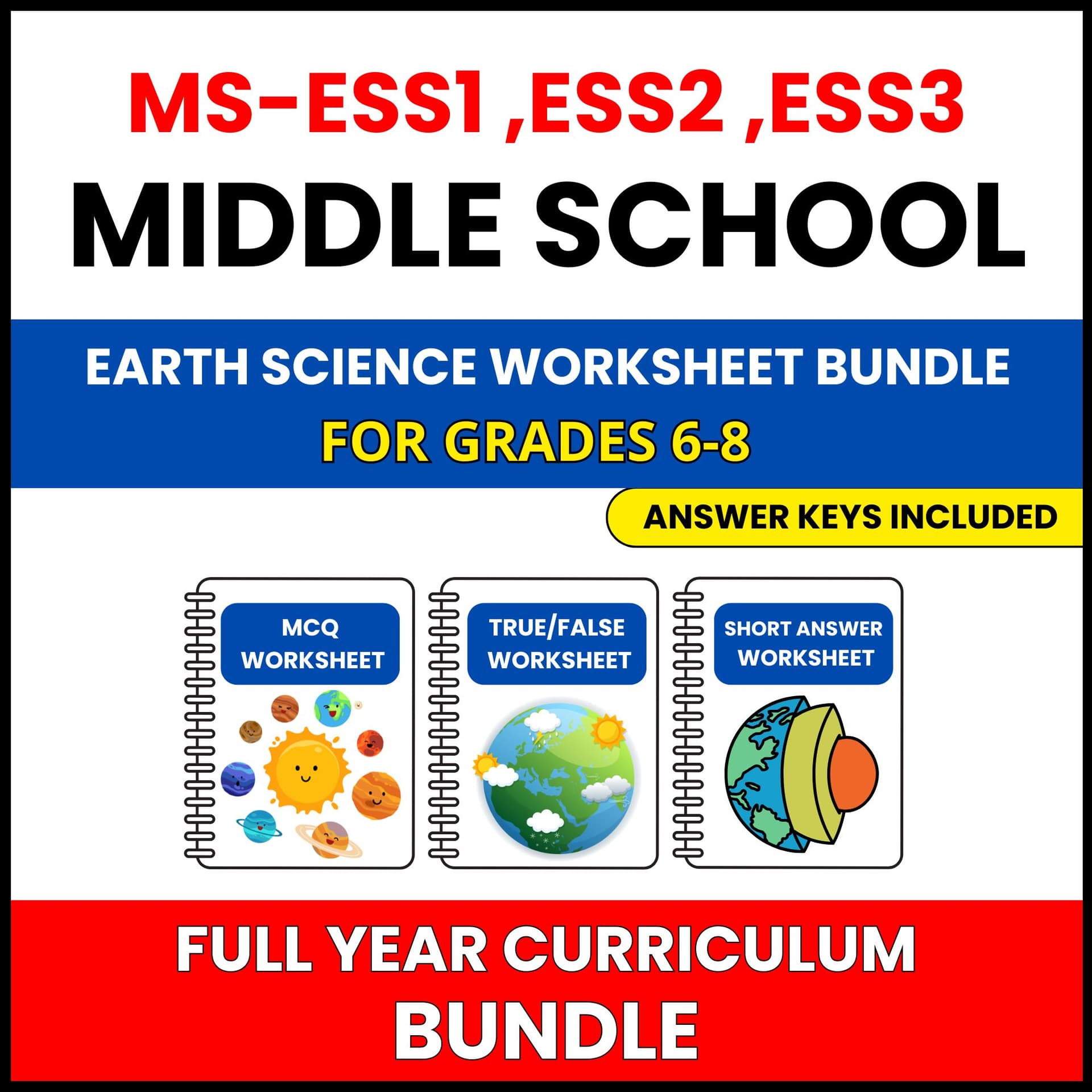
Earth science ideas click fastest with real practice. This set gives your Grade 6-8 class ninety questions on satellite and gis technology, aligned to the same NGSS performance expectation.
Sample questions include "Which GIS application can be utilized for disaster management?", "What is the purpose of remote sensing in satellite technology?", and "Which of the following best describes vector data in GIS?"
Because the three worksheets share the same content in three different formats, you can spread them across the week: one for diagnosis, one for practice, and one for assessment, without repeating a single question.
This set is part of a NGSS aligned earth science unit. The unit also covers Earth's Surface, Reading Topographic Maps, Modeling Topographic Features, Earthquake and Volcano Maps, Tectonic Plate Features, and Erosion and Surface Change, all in the same three worksheet format, so your classroom routine stays familiar while the topic changes.
Suitable for Grade 6-8 earth science classes, and for review at any point in the school year. This set is aligned to NGSS standard MS-ESS2-2.