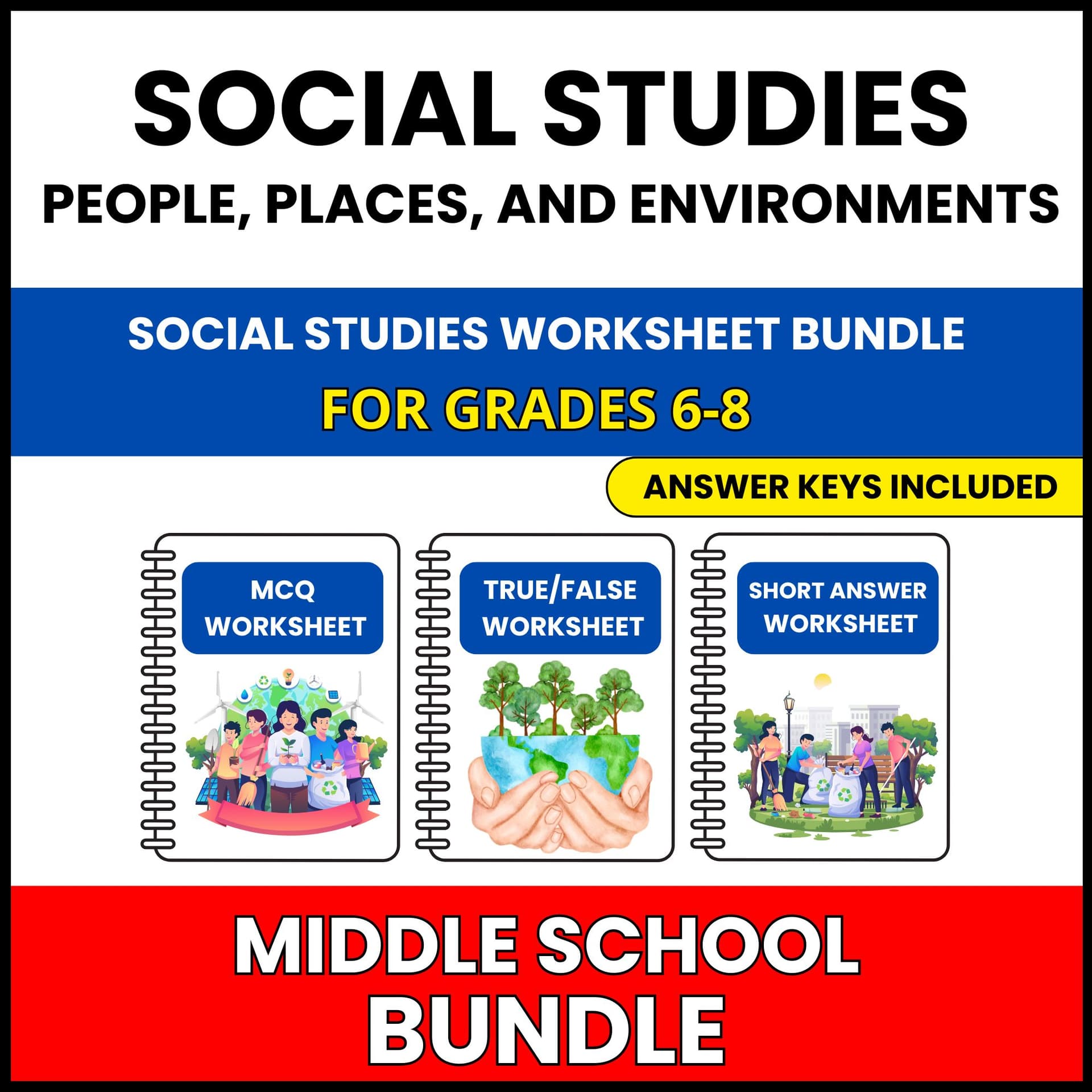
Help your students think critically about mapping historical events through ninety questions that move from basic recall to genuine reasoning about how societies work.
Sample questions include "Which trade route connected Europe to Asia during the Middle Ages?", "What was a key feature of the Transatlantic Slave Trade?", and "What year did the Berlin Wall fall, symbolizing the end of the Cold War?"
Because the three worksheets share the same content in three different formats, you can spread them across the week: one for diagnosis, one for practice, and one for assessment, without repeating a single question.
This set is part of a complete social studies unit. The unit also covers Geographic Tools and Skills, Physical Geography, Human Environment Interaction, Urbanization, Population Growth and Density, and Migration Patterns, all in the same three worksheet format, so your classroom routine stays familiar while the topic changes.
Suitable for Grade 6-8 social studies classes, and for review at any point in the school year.